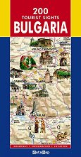
The map includes 203 natural and cultural-historical landmarks, 161 of which are presented with drawings, the 100 national tourist sites and sites protected by UNESCO. Map features: geographic network; hydrography; country borders; main road network; settlements, classified by number of inhabitants; mountain tops; border checkpoints; airports; ports; resorts; holiday villages; tourist centers; rock formations; caves; pass through cracks and gorges; waterfalls; mineral springs; inscriptions on hydrography, mountains and valleys. Folded map size: 12 x 23 cm. Unfolded map size: 70 x 100 cm. ... |